

Pavement structure of the Rees flood basin
Project information
Construction project
Structure of the flood basin’s revetmentCustomer
WSA Duisburg-RheinConstruction
Rheinhold Meister GmbH, HengersbergLocation
Rees , DEPlaning
WSA Duisburg-RheinConstruction time
2009-2014Products used
Project details

Situation
The riverside promenade on the right bank of the Rhine bend near Rees and the elevated foreshores on the opposite side form a narrowing in the river’s course. In the event of flooding, this offers the river little scope for horizontal expansion. Compounded by the usual erosion problems associated with a scarp bank, the riverbed in this area is being eroded at a rate of around 2 cm per year. The resulting changes in flow behaviour are expected to lead, amongst other things, to uncertainties regarding navigation conditions. A lowering of the groundwater level (and consequently the drying out of the ecologically valuable foreshores) and an increase in flow pressure on the Rees town wall are further consequences.
Solution
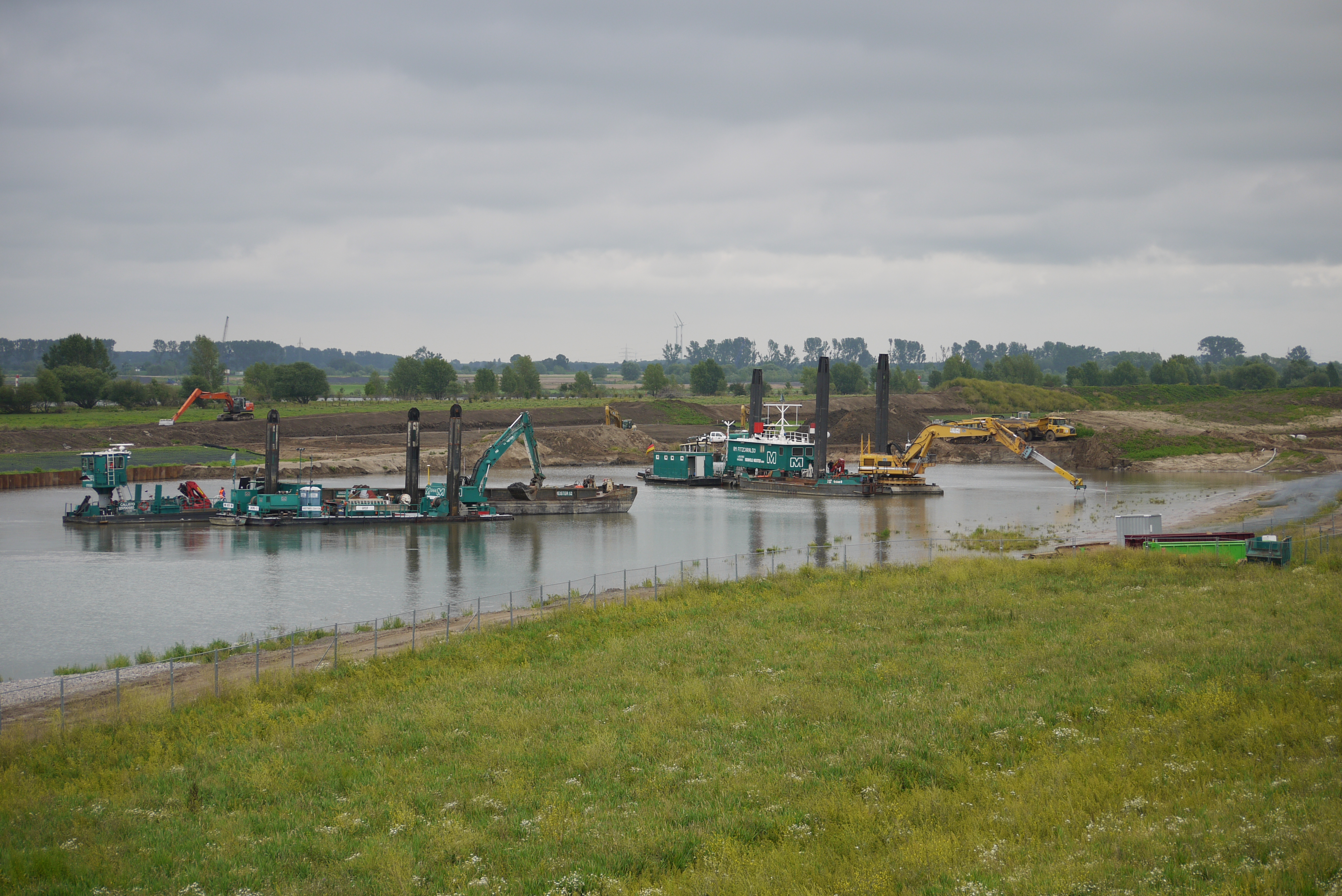
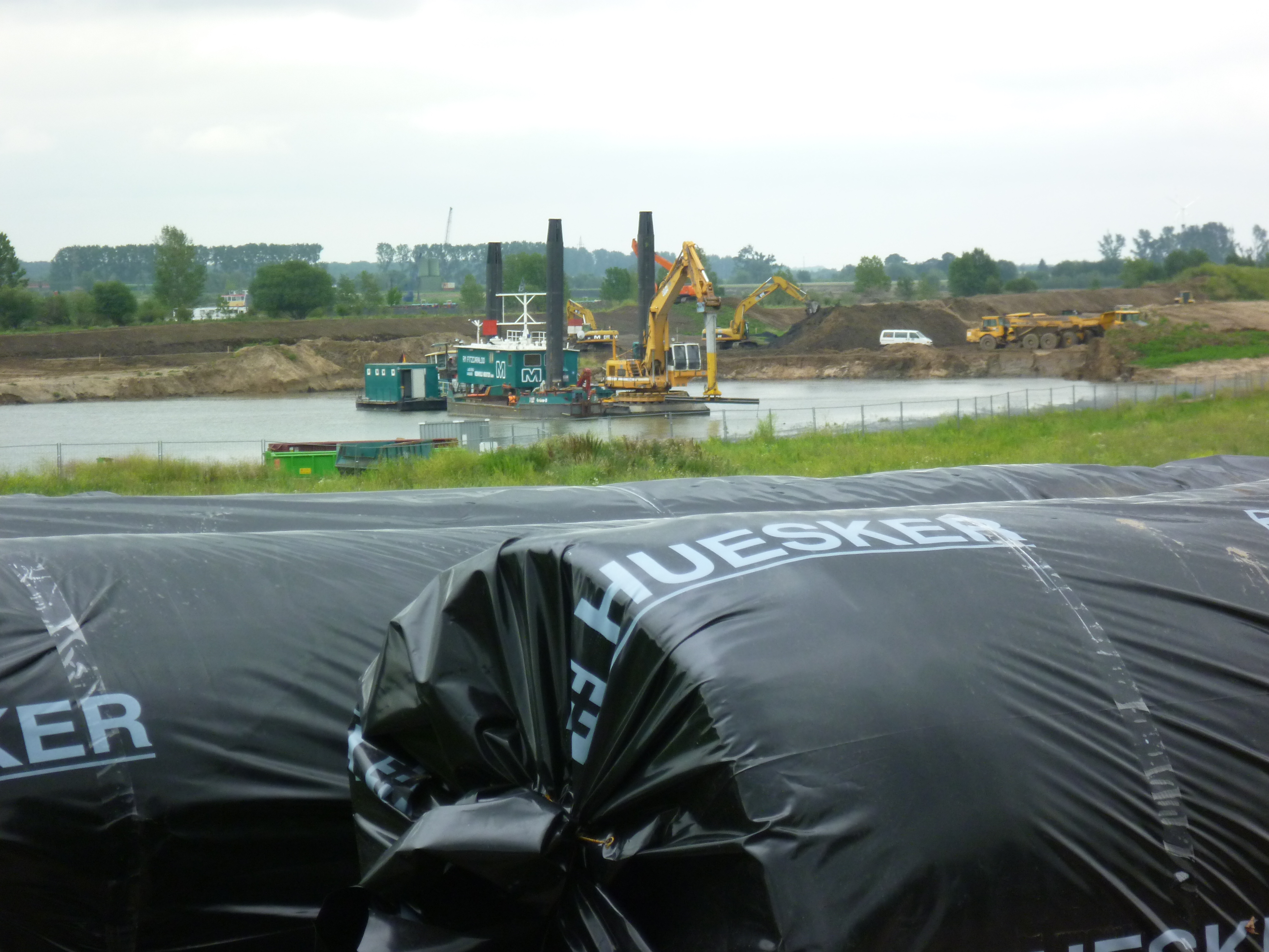
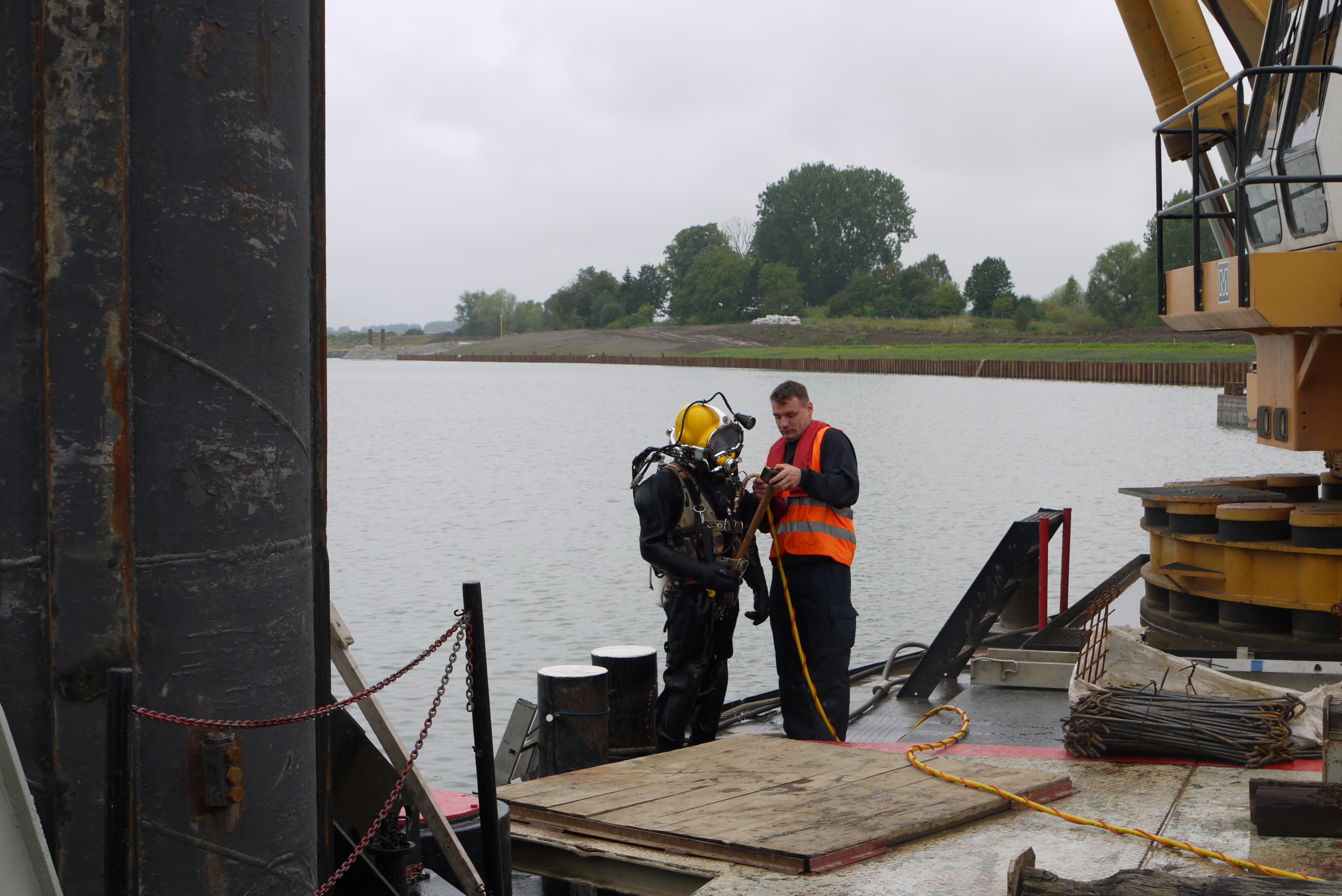
A 3 km long and up to 180 m wide bypass was planned on the inside of the river bend. To construct the 5 m deep trapezoidal channel, 2.2 million m³ of soil had to be excavated. 370,000 tonnes of riprap secure the bed and the banks of the near-natural channel. In addition, technical and ecological bank protection was created in the embankment areas using 16,250 m² of reed mats, a seeding area totalling 215,000 m²and 40,000 tree and shrub plantings. A BAW-certified sand mat was used to ensure the stability of the revetment. The geotextile filter layer was installed using a crossbeam mounted on the excavator’s boom. The overlap at the edges was set at 1 m in each case. Precise adherence to this specification was ensured by the GPS-assisted laying unit and manual diver inspection.